
The Heart of
Our Community

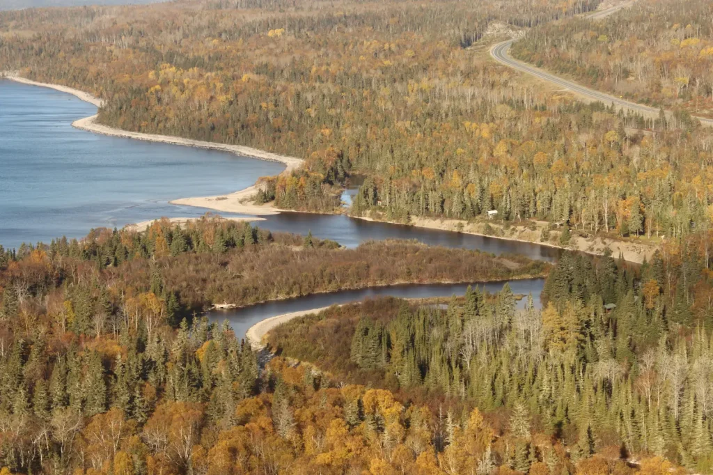
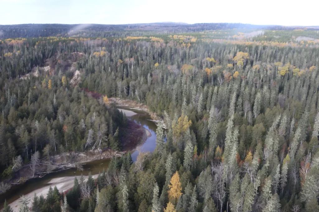
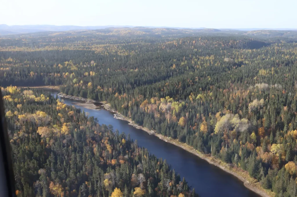
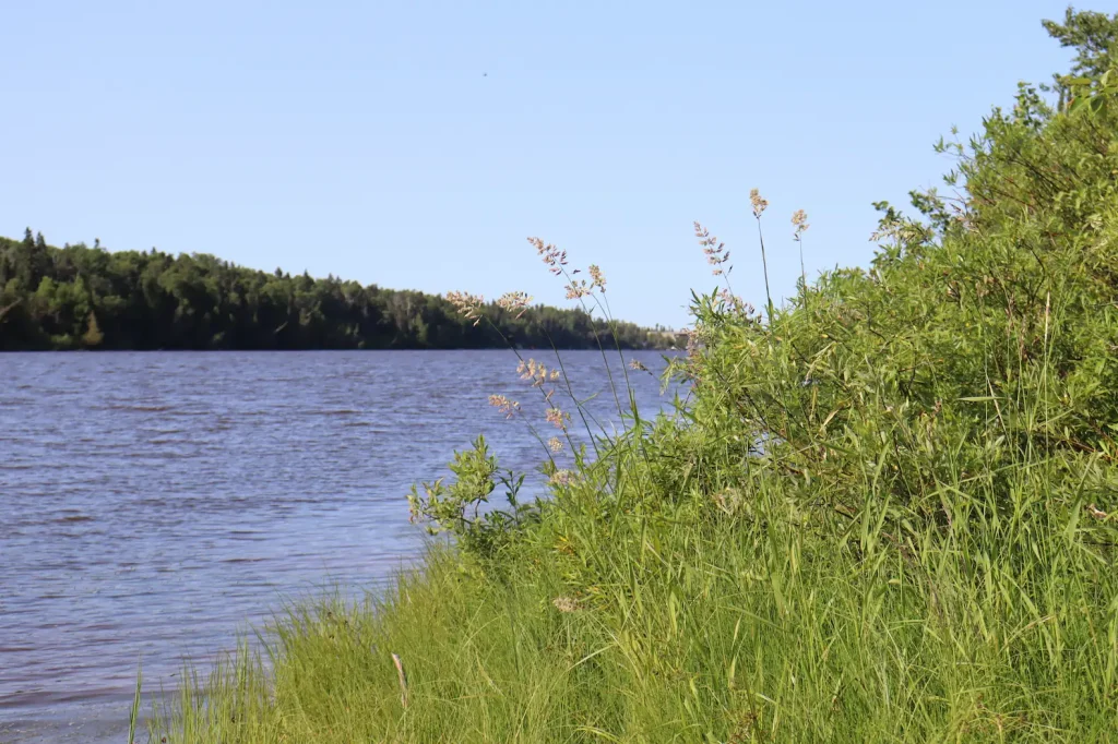
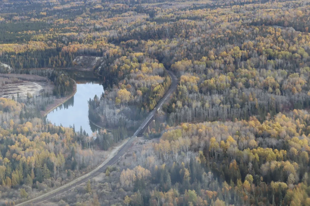
Biigtig Ziibii is a wide and constant presence. It flows through the very heart of our community at the river’s mouth on the north shore of Gichigami (Lake Superior). For 150 kilometres, from McKay Lake all the way to the shores of Gichigami, Biigtig Ziibii’s silty waters connect us to the lands of our Traditional Territory, and to lands as far north as James Bay. 

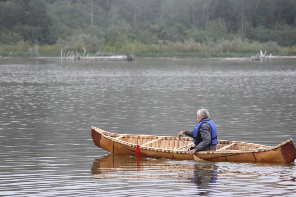
Our relationship with the river, which we fondly call “the Pic” is long and deep. Since time immemorial, it has been a source of life for our people. It has provided food, connection to relatives and distant communities, and connection to our ancestors and the Creator.

To this day, Biigtig Ziibii is deeply tied to our way of life as Biigtigong Nishnaabeg. In our community, nestled on its shores, we practice our culture on and around the river every day. Our people live with and rely on Biigtig Ziibii: We hold pow wows at the mouth of the river. We paddle the routes of our ancestors. We run fishing camps in the spring and moose harvesting camps upriver in the fall.  We are also passionately committed to protecting the river that cares for us.

Dam

New Community Cabin

New Community Cabins (x2)

New location of Jackfish Camp

Original Jackfish Camp

Bigrock Camp

Wabous Camp

Moses Camp

New Developed Campsite

New Developed Campsite

New Developed Campsite

New Developed Campsite

Future Camp Site

Camp 14 Campsite

Esker Lake Camp Site (Temp)

Mooz Zaaghigan/Moose Lake/Esker Lake

Steel River Camp

Gaa-wmbaawngaag Zaaghigan Gbeshwining/Sandy Hill Lake Campsite/Aster Lake Campsite

Steel Lake Camp (Temp II)

Steel Lake Camp (Temp)

Steel Lake Camp Site II

Gaa-wzhaawshkwaabkaag Zaaghigan Gbeshwining/Bluestone Lake Campsite

Steel Lake Camp Site I

Wkikaandag Gbeshwining/Jackpine Campsite/Steel Lake Camp

Diablo Camp

New Diablo Camp Site

Dik Gbeshwining/Caribou Campsite

New Mountain Lake Camp

Gaa-gidjiiwaabkaag Zaaghigan Jiimaan Gbeshwining/Mountain Lake Canoe Camp

McKay Lake Camp

McKay Lake Camp

Pukatawagan Sandbar Camp

Puktawagan Ginoodaawangaa Gbeshwining/Pukatawagan Sandbar Camp

Sandbar Camp I

Michal Bridge Camp

Michal Zaaghigan Aazhogan Gbeshwining/Michal Lake Bridge Campsite

High Falls Camp

Giiwedin Ishpigakaamikijiwan Gbeshwining/North High Falls Campsite

Jackfish Camp

Ginoozhe Zaaghigan Gbeshwining/Pike Lake Campsite

Waboosekon Camp

Waboosekon Gbeshwining/Waboosekon Campsite

Tickseed Camp

Tickseed Gbeshwining/Tickseed Campsite

Caramat Camp

Caramat Gbeshwining/Caramat Campsite

Canoe Camp Site

Mnidoo Gkaamkijwang Gbeshwining/Manitou Falls Campsite

Legend

Click map icons to reveal more information.

All in a Name…

Pekatek, the Ojibway word for mud, is thought to be the origin of the river’s English name of Pic River. But the name of our community, Biigtigong, also describes the river, and suggests a deeper meaning:

“When you’re talking about what Biigtigong means, you know, it’s the place where the river erodes the banks, right?… But they’re not just talking about the river eroding the banks…there’s a deeper meaning behind that as well…the way the river erodes and the way life can erode you and the way we have to stay stable throughout life. Because things are going to erode your banks and things are going to shape you, and things are going to affect you in certain ways.” —Biigtigong Knowledge Holder

Fun Fact

Over Biigtig Ziibii’s 150 kilometre length, the river drops from 320 metres above sea level at McKay Lake to 183 metres above sea level when it reaches Lake Superior. That drop is equivalent to a 60 storey building, or two thirds of the Eiffel Tower.

Ancient Connections

Significant archaeological finds on the shores of Biigtig Ziibii and McKay Lake date back 2,000 years. This includes Ojibway cultural objects found at the mouth of the river, such as those used on ceremonial dance clothing and materials used for harvesting. It also includes evidence of the species of animals hunted. Later, English settlers left behind pieces of pottery.

Ontario Heritage Foundation has established a national historic site recognizing the significance of Biigtig Ziibii. See a photo of the historic plaque, which is located in Heron Bay, Ontario, here: The Pic / Le pic Historical Marker.

Fur Trade and the Logging Industry

After the arrival of European settlers, the mouth of the Biigtig Ziibii became an important fur trading post, run by the Northwest Company and later by the Hudson’s Bay Company. As the fur trade came to an end, the river became a significant route for transporting logs to a nearby pulp and paper mill. The mill was located just east of the river’s mouth, in the town of Marathon. During the drives, the Biigtig Ziibii would be choked with logs. Today, their skeleton-like remains lie scattered along the sandy shores of the river’s mouth.

Geology

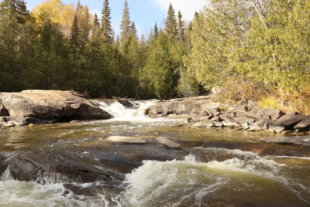
Glaciers from the last ice age carved out the path of Biigtig Ziibii. The ice scraped and scoured the ancient rock of the Canadian Shield. McKay Lake is one of the many inland lakes the glaciers formed that are not well drained. Biigtig Ziibi formed to drain the lake’s water to lower ground. The mouth of Biigtig Ziibii at Lake Superior flows through dramatic sand dunes, sharp rock faces, spruce forests, and muskeg.
Canoe Routes

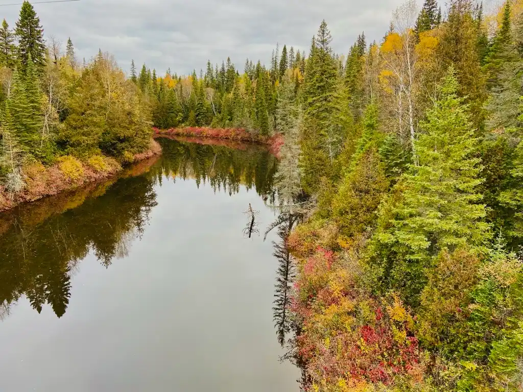
The river is wide, easily navigable by canoe, and well connected, by canoe portage trails, to other waterways that drain north into James Bay. Ancient portages and modern access points are known and regularly used by Biigtigong members and non-members: all may experience the beauty and solitude of these lands and waters.

Biology

Biigtig Ziibii is home to many species that are culturally significant to us. Our people fish for sturgeon, and rainbow trout in the river and hunt for moose further inland. Other species found here include walleye, white suckers, and beavers. The river and nearby lands shelter wolves and eagles that hold deep spiritual meaning for the people of Biigtigong Nishnaabeg.

References

Boultbee, J. (1967). Pic, Pulp and People- A history of the Marathon District. Marathon, ON: The Marathon Area Centennial Committee.

Gall, P. L. (1967). The Excavation of Fort Pic, Ontario. Ontario Archaeology, Publication No, 10, 34-63.

Nature Metrics. (2024). Environmental DNA Report: Freshwater fish (excl. sharks & rays). Nature Metrics.

Norris, D. (2025). Summary Archaeological Background – IPCAs Waterways. Thunderbay, ON: Woodland Heritage Northwest.

Nute, G. L. (1946). History of the Pic River Area. Minnesota Historical Society.

The Historical Marker Database. (2024). The Pic. Retrieved January 2026, from Historical Marker Database: bite-size bits of local, national, and global history: https://www.hmdb.org/m.asp?m=255197

Various Biigtigong Nishnaabeg Members. (2024). Land Claim Project. Shared Value Solutions Ltd. Retrieved 2025