
A River of Strength and Beauty

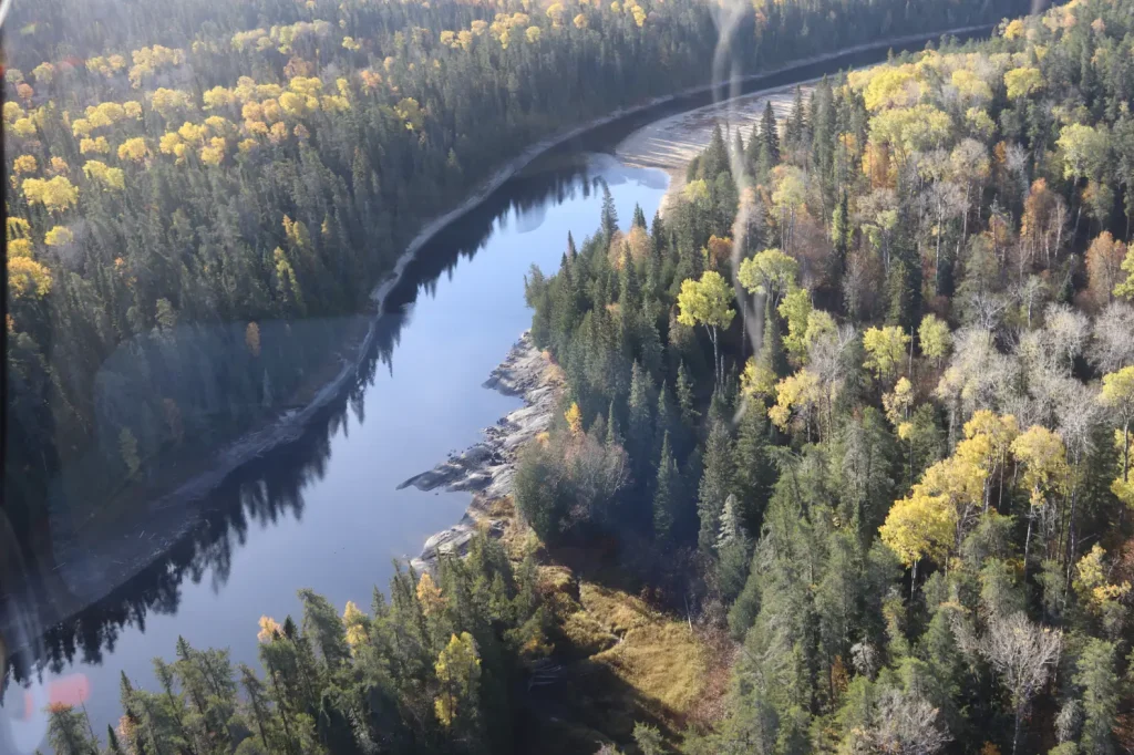
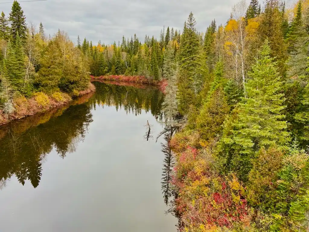
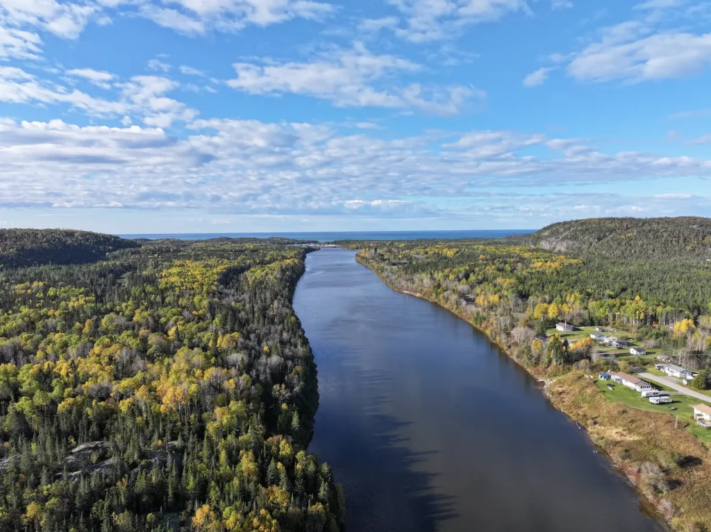
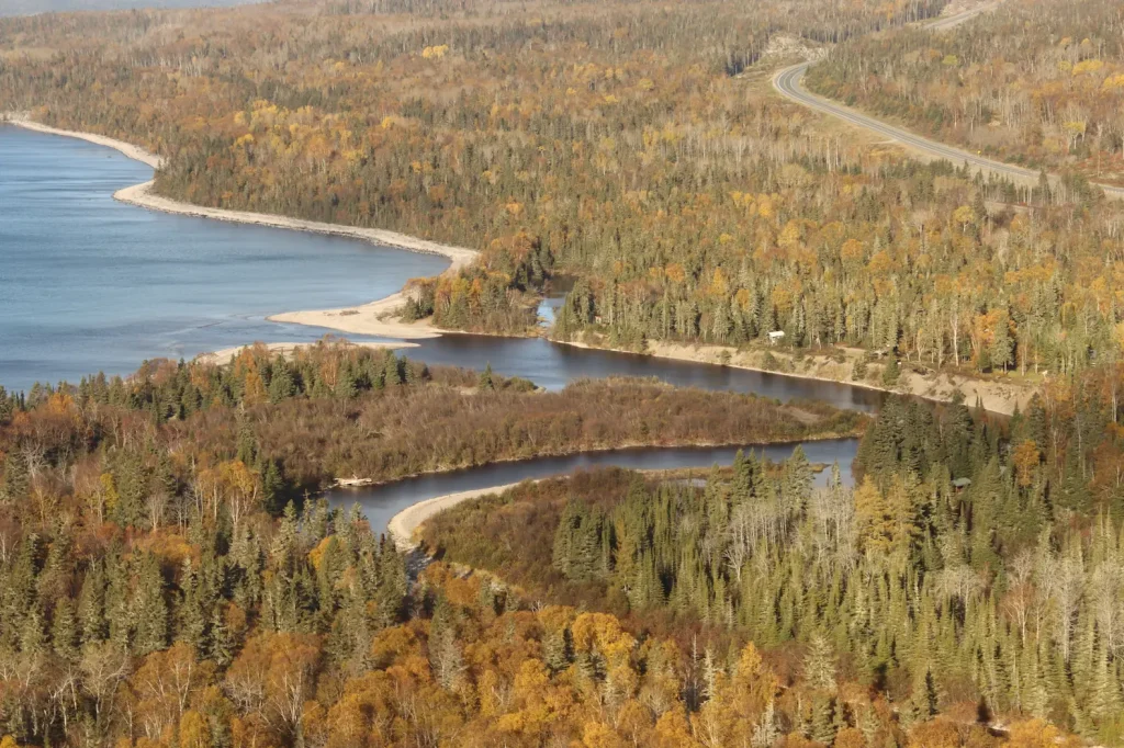
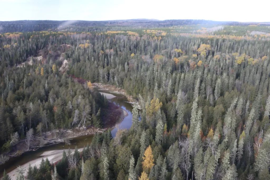
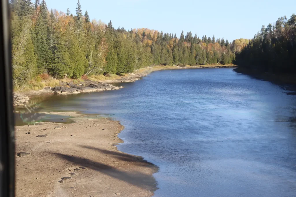
The Waabishki Ziibii (White River) begins at Negawazu Lake and flows west for 182 kilometres, ending at Gichigami (Lake Superior). The Waabishki Ziibii flows through several other lakes, including White Lake, Pokei Lake, and Pakoawaga Lake: its constant flow through the landscape provides for the plants and animals living in its waters, the nearby landscape, and our community.

All in a Name…

The name Waabishki Ziibii is spelled and pronounced differently by different Indigenous Nations.  Similar names include the Ojibwe “Wabista Sun” and “Wabista Sipi,” both translate to the same English name of White River.

White Lake has also been known by a few different names. At one time, this lake was known as Lake Natamasagama. At another, it was called Pike Lake: it was once home to a northern pike fishery. Later, the lake was renamed White Lake. This is because of the white, chalky sediment on the lake bottom, which is called white marl. Indigenous groups have also called the lake Wa,ba,lac, and Wàbà Sagaigun, which translates to white.

Dam

New Community Cabin

New Community Cabins (x2)

New location of Jackfish Camp

Original Jackfish Camp

Bigrock Camp

Wabous Camp

Moses Camp

New Developed Campsite

New Developed Campsite

New Developed Campsite

New Developed Campsite

Future Camp Site

Camp 14 Campsite

Esker Lake Camp Site (Temp)

Mooz Zaaghigan/Moose Lake/Esker Lake

Steel River Camp

Gaa-wmbaawngaag Zaaghigan Gbeshwining/Sandy Hill Lake Campsite/Aster Lake Campsite

Steel Lake Camp (Temp II)

Steel Lake Camp (Temp)

Steel Lake Camp Site II

Gaa-wzhaawshkwaabkaag Zaaghigan Gbeshwining/Bluestone Lake Campsite

Steel Lake Camp Site I

Wkikaandag Gbeshwining/Jackpine Campsite/Steel Lake Camp

Diablo Camp

New Diablo Camp Site

Dik Gbeshwining/Caribou Campsite

New Mountain Lake Camp

Gaa-gidjiiwaabkaag Zaaghigan Jiimaan Gbeshwining/Mountain Lake Canoe Camp

McKay Lake Camp

McKay Lake Camp

Pukatawagan Sandbar Camp

Puktawagan Ginoodaawangaa Gbeshwining/Pukatawagan Sandbar Camp

Sandbar Camp I

Michal Bridge Camp

Michal Zaaghigan Aazhogan Gbeshwining/Michal Lake Bridge Campsite

High Falls Camp

Giiwedin Ishpigakaamikijiwan Gbeshwining/North High Falls Campsite

Jackfish Camp

Ginoozhe Zaaghigan Gbeshwining/Pike Lake Campsite

Waboosekon Camp

Waboosekon Gbeshwining/Waboosekon Campsite

Tickseed Camp

Tickseed Gbeshwining/Tickseed Campsite

Caramat Camp

Caramat Gbeshwining/Caramat Campsite

Canoe Camp Site

Mnidoo Gkaamkijwang Gbeshwining/Manitou Falls Campsite

Legend

Click map icons to reveal more information.

Ancient Connections

Archaeological finds on the shores of Waabishki Ziibii and White Lake date back as far as 2,000 years. These ancient cultural objects tell the story of our peoples’ connections to the river. Objects from the more recent past tell the story of the arrival of European settlers, and of the industry that followed, including signs of the logging industry and the fur trade.

Fun Fact

The township of White River is known as the home of the real-life Winnie-the-Pooh. During World War I, military lieutenant and training veterinarian Harry Colebourn travelled to White River by train. When he arrived, he met an orphaned black bear. The bear’s name was Winnie, short for the Canadian city of Winnipeg. Harry eventually took Winnie all the way to England, to the London Zoo. There, Winnie met Christopher Robin. Since 1988, White River celebrates their famous bear every year with a festival known as “Poohfest.” You can read more about the story here: Northern Ontario Travel.

Hydroelectric Power

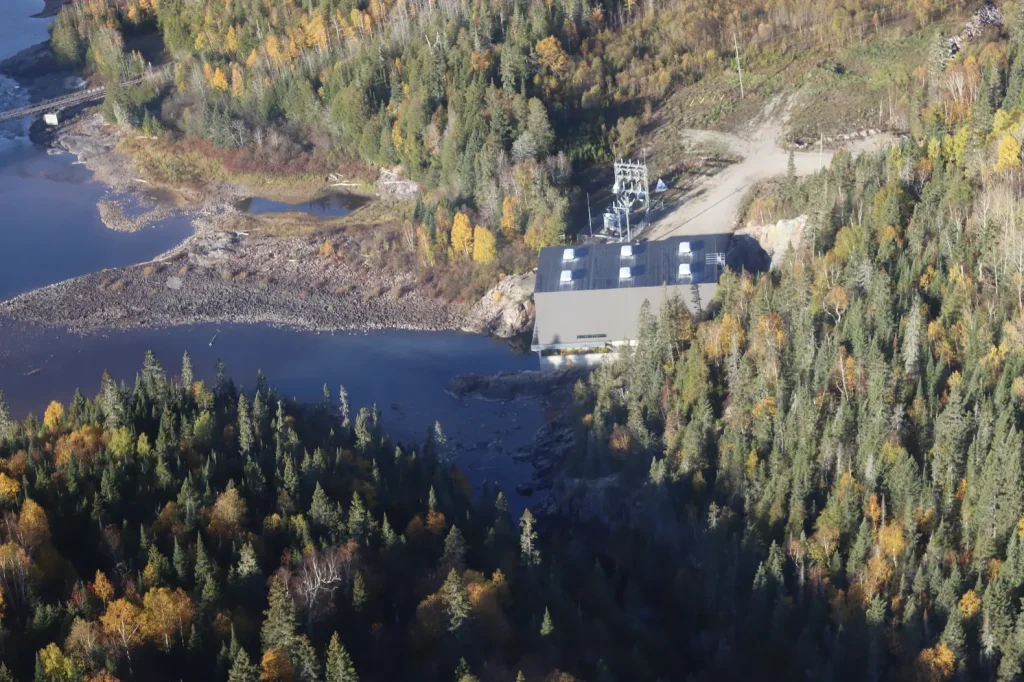
Waabishki Ziibii’s strong waters support three hydroelectric generating stations. All three are located within the boundaries of White Lake Provincial Park. The stations are categorized as a run-of-river hydroelectric structures: they generate electricity using the river’s natural flow, without holding lakes for water storage. The first station, built in 2008, is at Umbata Falls, 16 kilometres from the river’s mouth. The other stations, built in 2016, replaced a previous dam. 

These two newer stations were built through a partnership between our Nation, Biigtigong Nishnaabeg, and Netmizaaggamig Nishnaabeg (Pic Mobert First Nation). The project is known as the Gitchi Animki Hydroelectric Project, and the stations, located 12 kilometres apart, are named Gitchi Animki Bezhig (Big Thunder One) and Gitchi Animki Niizh (Big Thunder Two). We are proud of our partnership, and of these hydroelectric dams: they provide us with jobs and help meet our energy needs.

Logging Industry

During the early to mid-1900s, log drives were an annual event on the Waabishki Ziibii. During spring, logs would flow down the river and its tributary, the Little White River, toward Lake Superior. Today, long after the last log drives on the river, forestry continues to be a major industry in the region.

Canoe Routes

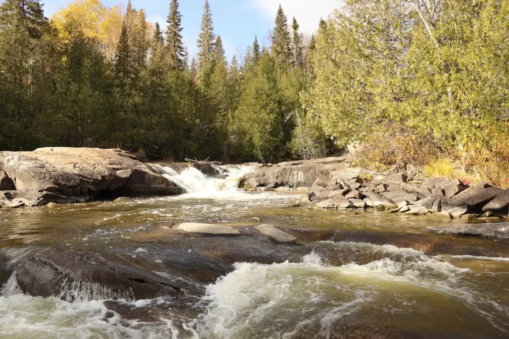
Biigtigong members have used Waabishki Ziibii’s canoe route for centuries. More recently, fur traders, loggers, and—today—outdoor enthusiasts travel this route. The route is 192 kilometres long, stretching from Negawazu Lake all the way to Hattie Cove on the shore of Lake Superior. This river is not for the faint of the heart. It includes whitewater rapids and waterfalls that showcase its power.
Research on the River

To protect our river, we are actively studying it. By speaking with people who use the land and with Knowledge Holders, we have documented travel routes, cultural sites, big game and small game hunting sites, bird hunting sites, many fishing locations, sites used for trapping, and locations for gathering plant and other resources connected to Waabishki Ziibii and its lakes.

Biology

Waabishki Ziibii is home to many important fish species. This includes chinook salmon, northern pike, walleye, and lake perch. The lands near the river are home to boreal forest species, such as moose, white-tailed deer, black bears, eagles, and many other bird species. Trees found in this boreal forest include black spruce, white spruce, jack pine, and trembling aspen, along with a red pine stand, which is a rare species in the region.

Geology

As part of the Canadian Shield, Waabishki Ziibii is connected to important and unique rock formations and features.
The Kakakiwibik Esker Conservation Reserve protects glacial formations created by ice 10,000 years ago. As ice retreated from the area, it scraped away softer rock, leaving formations including esker ridges (gravel left by meltwater), kame hills (steep gravel mounds), and kettle lakes (round lakes formed by the melting of huge blocks of glacial ice).
The northern shore of the Waabishki Ziibii, within the White Lake Peatlands Provincial Natural Reserve, also contains unique geology: Here, silt, clay, and sand formations (called glaciolacustrine deposits) can be seen, along with an extensive wetland system, and exposed bedrock.

White River Suspension Bridge

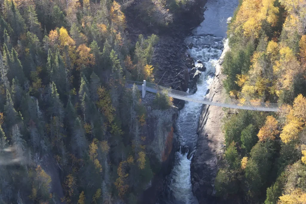
In Pukaskwa National Park on the shores of Lake Superior in Ontario, brave hikers can walk across a suspension bridge that hovers 23 metres above the mighty Chigamiwinigum Falls on the Waabishki Ziibii. This river is known for its many waterfalls and rapids. This bridge gives visitors a bird’s eye view of the power and beauty of the river—and also maybe an idea of why it was chosen as the location for three hydroelectric generating systems!

Protected Areas & Conservation

Within the watershed of the Waabishki Ziibii are five protected areas:

  • Kwinkwaga Ground Moraine Uplands Conservation Area
  • The Kakakiwibik Esker Conservation Reserve
  • White Lake Provincial Park
  • The White Lake Peatlands Provincial Nature Reserve
  • Pukaskwa National Park

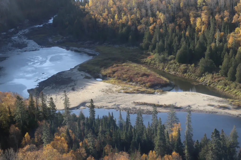
In the White Lake Peatlands Provincial Natural Reserve, the sandy beach shore of the Waabishki Ziibii is protected by a lagoon. The lagoon is made up of marshes, sand beach barrens, black spruce and larch swamps, along with other features. This area sustains a wide variety of life. Our community is committed to continuing to conserve and protect waterways like the Waabishki Ziibii.

References

Algoma Staff Writer. (2025). Visit The Birthplace of Winnie-the-Pooh. Retrieved February 2026, from Northern Ontario Canada: https://northernontario.travel/algoma-country/experience-birthplace-winnie-pooh

Boultbee, J. (1967). Pic, Pulp and People- A history of the Marathon District. Marathon, ON: The Marathon Area Centennial Committee.

Buchan, J. D. (1972). Logging of the Black and White Watersheds: The pre-mechanization era 1890-1950. Retrieved from https://nfmcforestry.ca/wp-content/uploads/2024/09/History_White-River-Division-Watershed.pdf

Krackle, J. (2015). Biigtigong Nishnaabeg has long history of developing hydro dams. Retrieved from https://anishinabeknews.ca/2015/12/biigtigong-nishnaabeg-has-long-history-of-developing-hydro-dams/

Nature Metrics. (2024). Environmental DNA Report: Freshwater fish (excl. sharks & rays). Nature Metrics.

Norris, D. (2025). Summary Archaeological Background – IPCAs Waterways. Thunderbay, ON: Woodland Heritage Northwest.

Ontario Parks. (2007). White Lake Peatlands: Interim Managment Statment. Ontario Parks. Retrieved from https://files.ontario.ca/environment-and-energy/parks-and-protected-areas/mnr_bpp0059.pdf

Parks Canada. (2023). White River Suspension Bridge Trail. Retrieved from National Parks- Pukaskwa National Park: https://parks.canada.ca/pn-np/on/pukaskwa/activ/experience/sentiers-trails

Ross, I. (2009). Pic River First Nation adds power to their energy mix. Retrieved from Northern Ontario Business: https://www.northernontariobusiness.com/industry-news/green/pic-river-first-nation-adds-power-to-their-energy-mix-366031