
Geology
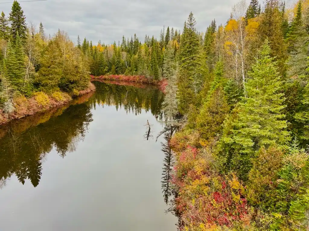
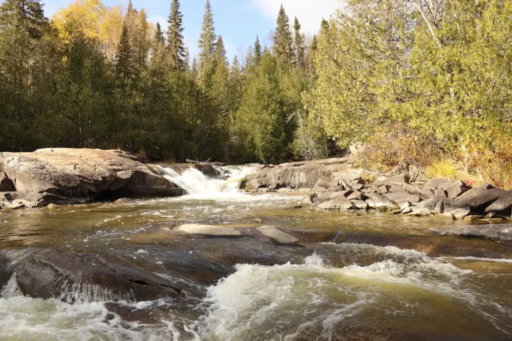
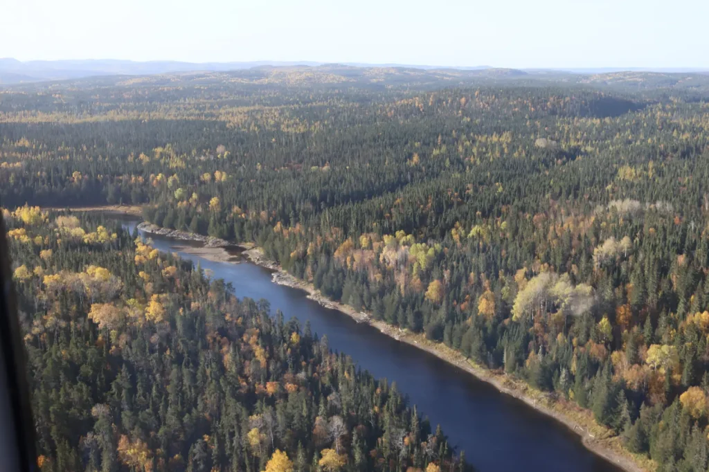
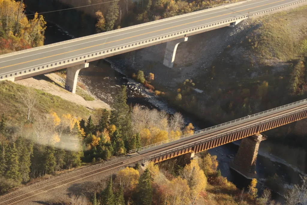
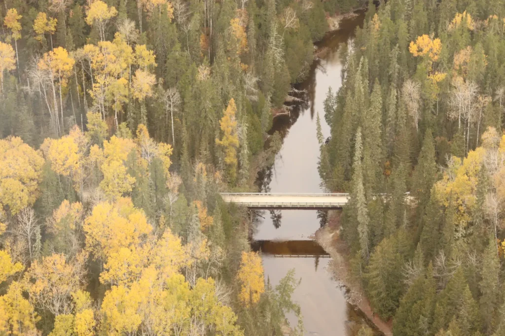
Wzhaawshkosin Ziibii flows through tough, ancient rock that is part of a long, skinny belt of old volcanoes and sediments in Northern Ontario. Long ago, this area was underwater, and volcanoes built up layers of mud and sand on the sea floor. Over thousands of years, the river’s fast-flowing water scoured and wore away softer rock bands while harder layers stayed behind as steep walls.
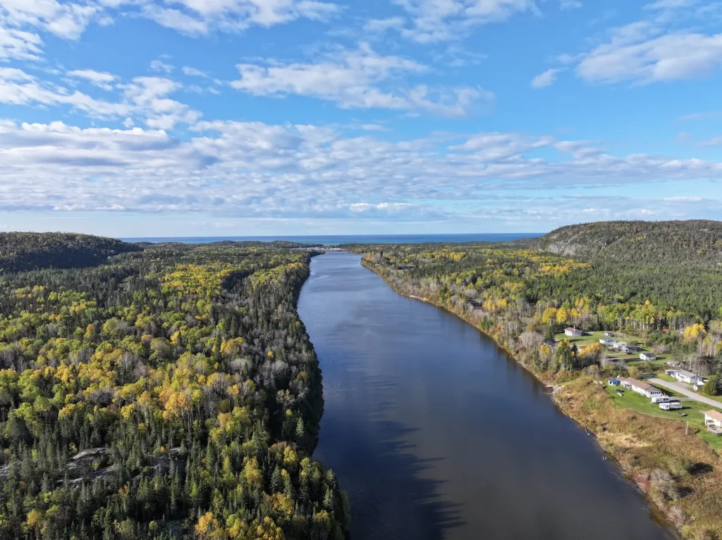
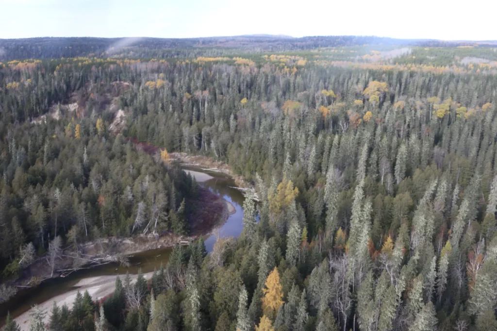
During the last Ice Age, huge glaciers covered the area, deepening valleys and carving wide new U-shaped valleys. As ice melted around 10,000 years ago, the river took over, cutting canyons, narrow lakes, rapids, and waterfalls into the river you see today. Glaciers also scraped and shaped the land, leaving behind sand and gravel in the valley bottoms. These glacial deposits created flatter areas. Today, these flat areas contain wetlands, and sandy shores where forests grow.