Our Hidden Gem

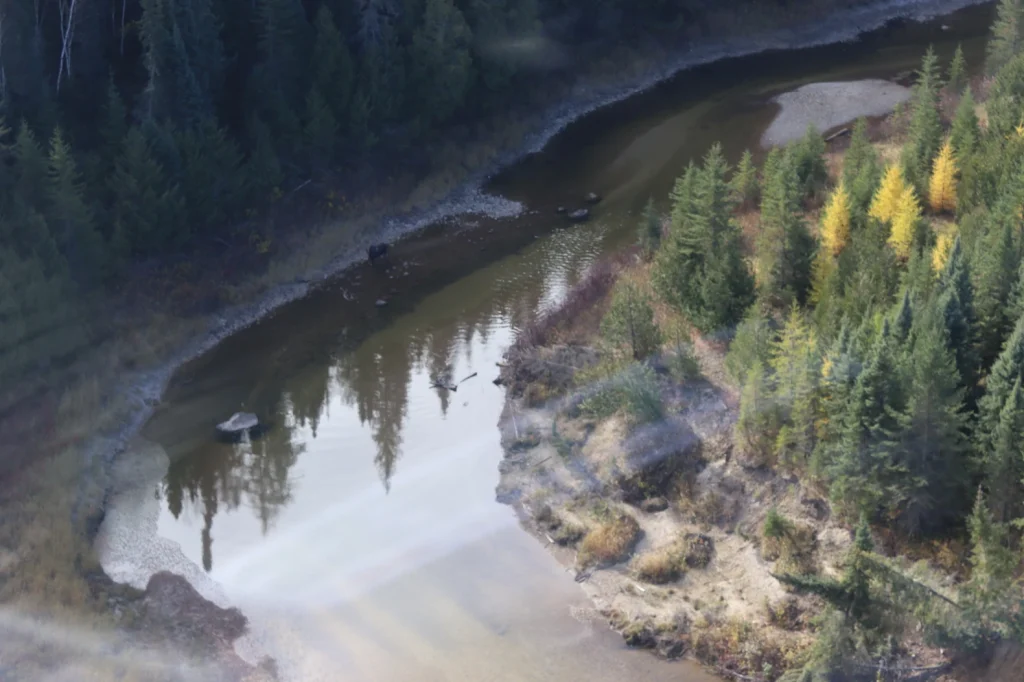
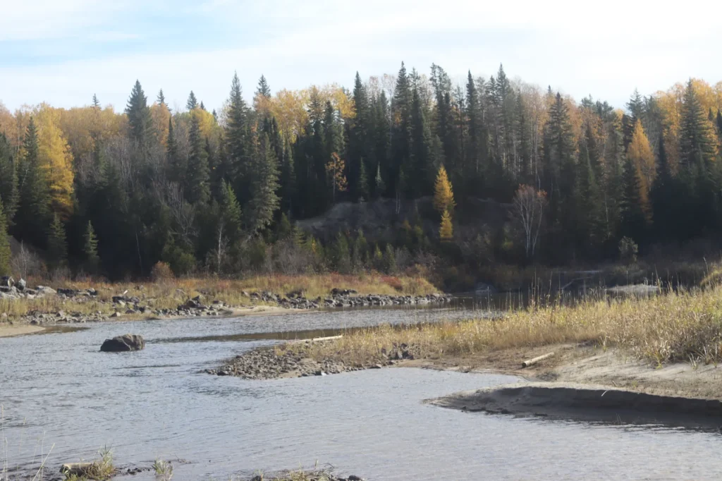
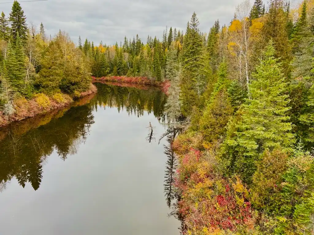
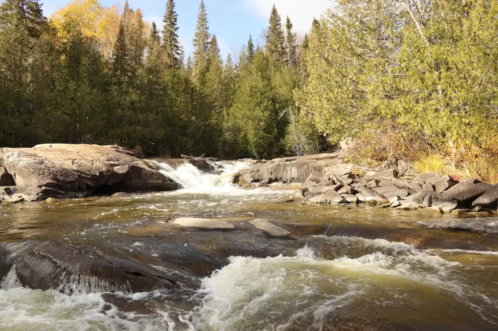
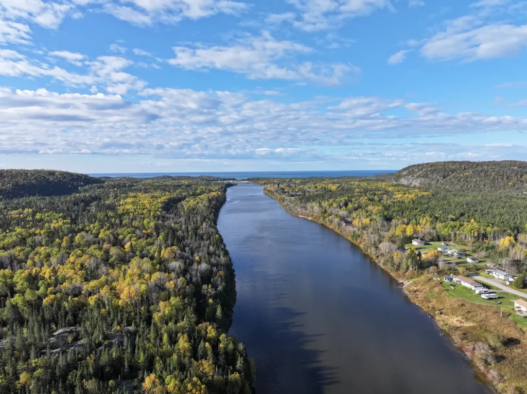
Waabishkinigig Ziibii (White Otter River) begins at Toch Lake and flows 100 kilometres before it joins the mighty Biigtig Ziibii (Pic River). This remote river is relatively unknown but has provided our community with travel routes, harvesting, and connection to our lands and waters since time immemorial.

All in a Name…

There are a few theories about how Waabishkinigig Ziibii got its name. River otters are often spotted in the river and symbolize playfulness and harmony with water. The “White” in White Otter River may come from a rare sighting of a white-coloured otter in the area. Another theory is that white holds spiritual significance, symbolizing purity, or that it refers to seasonal changes in relation to winter.

Dam

New Community Cabin

New Community Cabins (x2)

New location of Jackfish Camp

Original Jackfish Camp

Bigrock Camp

Wabous Camp

Moses Camp

New Developed Campsite

New Developed Campsite

New Developed Campsite

New Developed Campsite

Future Camp Site

Camp 14 Campsite

Esker Lake Camp Site (Temp)

Mooz Zaaghigan/Moose Lake/Esker Lake

Steel River Camp

Gaa-wmbaawngaag Zaaghigan Gbeshwining/Sandy Hill Lake Campsite/Aster Lake Campsite

Steel Lake Camp (Temp II)

Steel Lake Camp (Temp)

Steel Lake Camp Site II

Gaa-wzhaawshkwaabkaag Zaaghigan Gbeshwining/Bluestone Lake Campsite

Steel Lake Camp Site I

Wkikaandag Gbeshwining/Jackpine Campsite/Steel Lake Camp

Diablo Camp

New Diablo Camp Site

Dik Gbeshwining/Caribou Campsite

New Mountain Lake Camp

Gaa-gidjiiwaabkaag Zaaghigan Jiimaan Gbeshwining/Mountain Lake Canoe Camp

McKay Lake Camp

McKay Lake Camp

Pukatawagan Sandbar Camp

Puktawagan Ginoodaawangaa Gbeshwining/Pukatawagan Sandbar Camp

Sandbar Camp I

Michal Bridge Camp

Michal Zaaghigan Aazhogan Gbeshwining/Michal Lake Bridge Campsite

High Falls Camp

Giiwedin Ishpigakaamikijiwan Gbeshwining/North High Falls Campsite

Jackfish Camp

Ginoozhe Zaaghigan Gbeshwining/Pike Lake Campsite

Waboosekon Camp

Waboosekon Gbeshwining/Waboosekon Campsite

Tickseed Camp

Tickseed Gbeshwining/Tickseed Campsite

Caramat Camp

Caramat Gbeshwining/Caramat Campsite

Canoe Camp Site

Mnidoo Gkaamkijwang Gbeshwining/Manitou Falls Campsite

Legend

Click map icons to reveal more information.

Ancient Connections

Much of the Waabishkinigig Ziibii remains to be explored. There is one known archeological site, an old campsite, likely from the days of the Hudson’s Bay Company.

Fun Fact

North American river otters are playful creatures, most active at dusk and dawn. River otters can stay underwater for up to eight minutes and can even see underwater: They have a see-through third eyelid for underwater vision.

River otters are sensitive to pollution. They tend to leave polluted areas, making them a good indicator of river health.

Fur Trade

During the fur trade era, the Waabishkinigig Ziibii offered a reliable alternative route (instead of the Biigtig Ziibii [Pic River]) to transport supplies and mail between the Hudson’s Bay Company Lake Superior and James Bay trading posts. This route was shorter and lesser known, with a longer portage. The route began at Fort Pic on the Biigitig Ziibii then branched off to the Waabishkinigig Ziibii. Trappers and traders then paddled to a portage. The portage led to the Negagami River, then into the Kenogami River all the way to James Bay. The route took traders about six weeks in total to complete.

Logging Industry

The first log drive on the Waabishkinigig Ziibii was in 1945. Logs were floated down the river to reach the Biigtig Ziibii. At the mouth of the Biigitig Ziibii, on the lake, the logs were gathered together in booms. Then, they were moved and stocked piled for use at the pulp and paper mill in Marathon, Ontario.

Geology

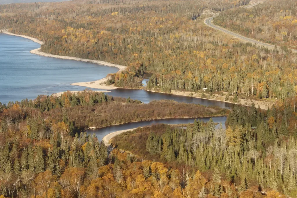
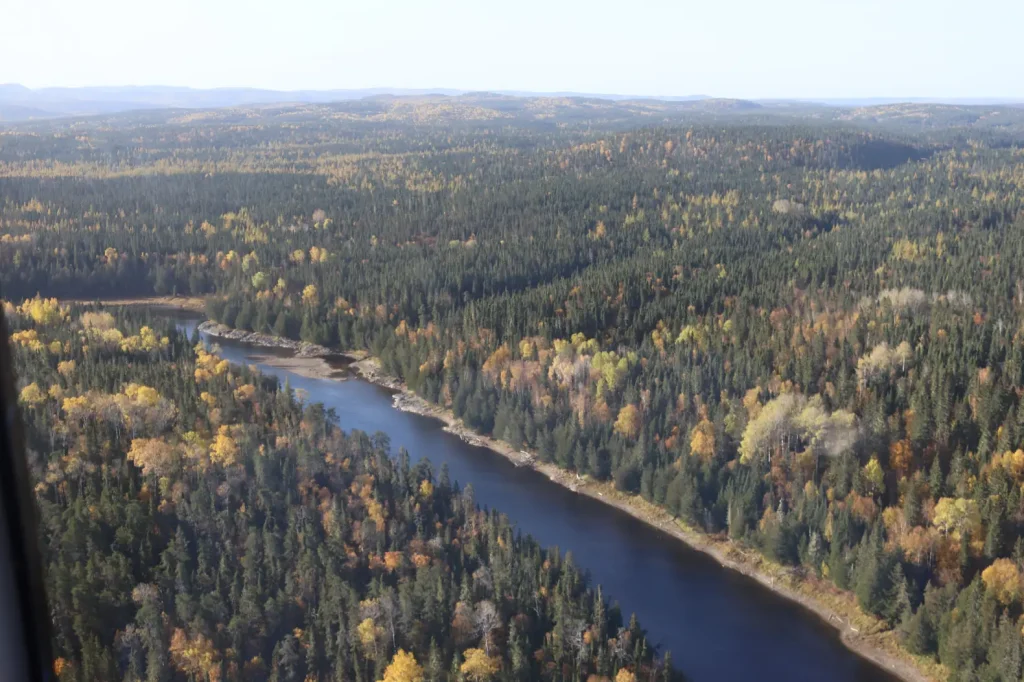
Waabishkinigig Ziibii flows through the Canadian Shield. This rugged northern landscape is made of ancient, hard rocks, worn down over billions of years, and then shaped by glaciers. The river valley is surrounded by glacial deposits, exposed rocks, wetlands, mixed forests, and clear lakes.

Canoe Routes

Most of the historical information on the Waabishkinigig Ziibii is centred around its use as a canoe and trading route in the 19th and 20th centuries, as detailed in the Fur Trade section. Today, the canoe route is used by our community, and by backcountry canoeing enthusiasts and fishers. The remote location of the river offers tranquility and space to enjoy the natural landscape.

Biology and Conservation

Many species live in or near the Waabishkinigig Ziibii. Fish such as burbot and brook trout, and of course the playful river otters, swim the river. A mix of trees stand tall, sheltering the waterway. The forest provides a home for boreal species such as moose, black bears, white-tailed deer, amphibians, reptiles, and a range of bird species.
The North Thornben Lake Moraine Conservation Reserve protects the lands and waters further inland, where the Waabishkinigig Ziibii begins. Protecting all of the Waabishkinigig Ziibii will help maintain its natural beauty and allow it to provide a healthy home for plants and animals.


References

Boultbee, J. (1967). Pic, Pulp and People- A history of the Marathon District. Marathon, ON: The Marathon Area Centennial Committee.

Buchan, J. D. (1972). Logging of the Black and White Watersheds: The pre-mechanization era 1890-1950. Retrieved from https://nfmcforestry.ca/wp-content/uploads/2024/09/History_White-River-Division-Watershed.pdf

Critter Care Wildlife Society. (n.d.). Discovering the Charm of North American River Otters: Nature’s Playful Swimmers. Retrieved February 2026, from Critter Care Wildlife Society: https://www.crittercarewildlife.org/north-american-river-otter

Ministry of the Environment, Conservation and Parks. (2021). North Thornben Lake Moraine Conservation Reserve Management Statement. Retrieved 2026, from Conservation reserve management direction: https://www.ontario.ca/page/north-thornben-lake-moraine-conservation-reserve-management-statement

Ministry of the Environment, Conservation and Parks. (2021). Turtle River-White Otter Lake Provincial Park Management Plan. Retrieved 2026, from Provincial park management direction: https://www.ontario.ca/page/turtle-river-white-otter-lake-provincial-park-management-plan#section-2

National Wildlife Federation. (n.d.). North American River Otter. Retrieved February 2026, from NWF: National Wildlife Federation: https://www.nwf.org/Educational-Resources/Wildlife-Guide/Mammals/North-American-River-Otter

Nature Metrics. (2024). Environmental DNA Report: Freshwater fish (excl. sharks & rays). Nature Metrics.

Norris, D. (2025). Summary Archaeological Background – IPCAs Waterways. Thunderbay, ON: Woodland Heritage Northwest.