
Water Stewardship
Leading community-led water monitoring initiatives to gather critical baseline data on water health, pollution, and climate change impacts across our shared basins.

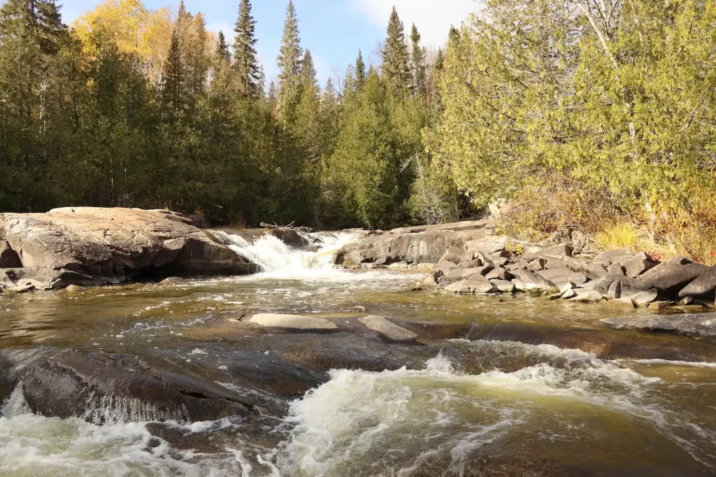
Boozhoo! Aniin! Welcome.
Nishnaabeg Waterways is a unified, community-led digital space dedicated to reclaiming, protecting, and honoring the sacred water networks of two sovereign sister nations: Biigtigong Nishnaabeg (Ojibways of the Pic River First Nation) and Netmizaaggamig Nishnaabeg (Pic Mobert First Nation) in Ontario, Canada.
Our traditional, unceded territories encompass millions of hectares along the rugged northern shores and interior watersheds of Lake Superior (Gchi-gamig). For our peoples, water—nbi or nibby—is not a commodity to be bought, sold, or dammed. Nbi is a living, sacred spirit. It is our life-giver, the holder of our ancestral memory, and the literal lifeblood of Mother Earth.
We assert our unextinguished Aboriginal title and jurisdiction over our waters. We merge time-honored ecological knowledge with modern community visioning to protect these flowlines for the next seven generations.
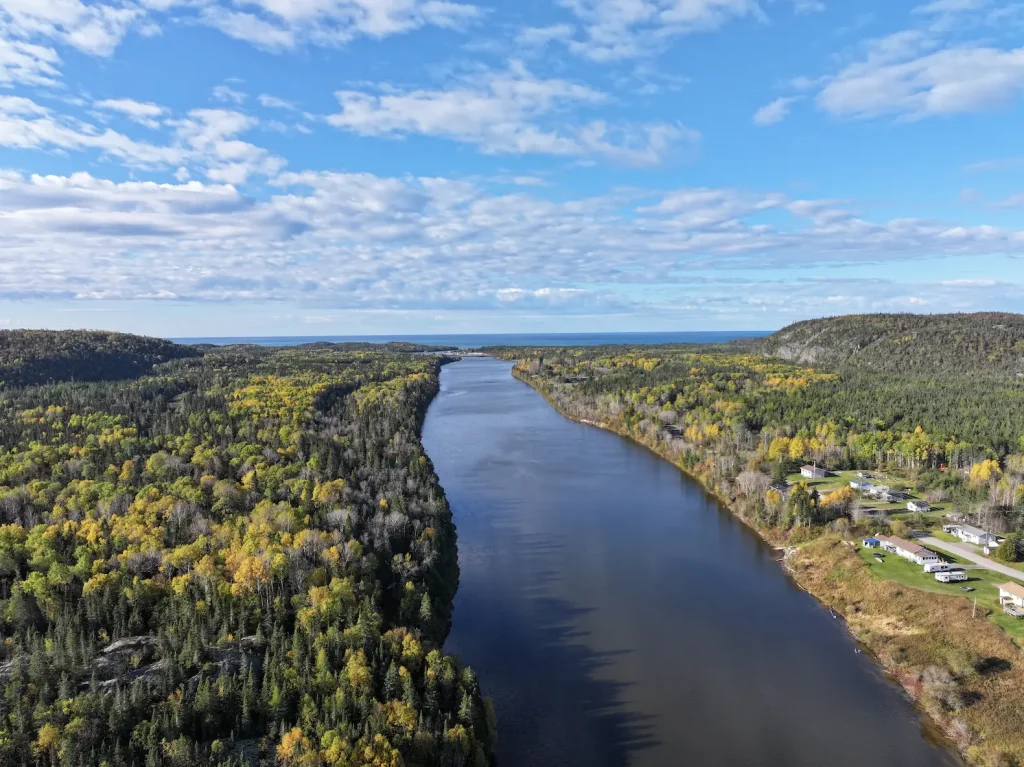
Located on the northern shores of Gichigami (Lake Superior), our name translates to “the place where the river erodes.” We are actively stewarding our unceded ancestral lands and six vital coastal waterways.
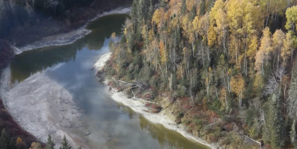
Situated inland along the beautiful eastern shores of White Lake, our community is dedicated to protecting our interior river networks, rapid-filled branches, and ancestral ecosystems for the next seven generations.
Coming Soon
While our communities maintain independent governance under our respective constitutions (Chi-Naaknigewin), we are permanently bound by the bloodlines of the earth. Below are the definitive lifelines of our lands.
Our rivers flow through deep valleys of the Canadian Shield, directly feeding the northern expanse of Lake Superior:
Our waters are characterized by the interior lake networks and rapid-filled river branches that travel north from the big lake:
Leading community-led water monitoring initiatives to gather critical baseline data on water health, pollution, and climate change impacts across our shared basins.
Reclaiming and normalizing our original Anishinaabemowin place names for the rivers, portages, and lakes that have been erased by colonial cartography.
Practicing our traditional laws that govern the delicate interfaces where water meets the land, ensuring industrial and resource extraction projects respect our unceded territories.
Empowering our youth and community members through traditional practices, ensuring our protection of the waters aligns with the protection of our wildlife like woodland caribou.