

Our Community
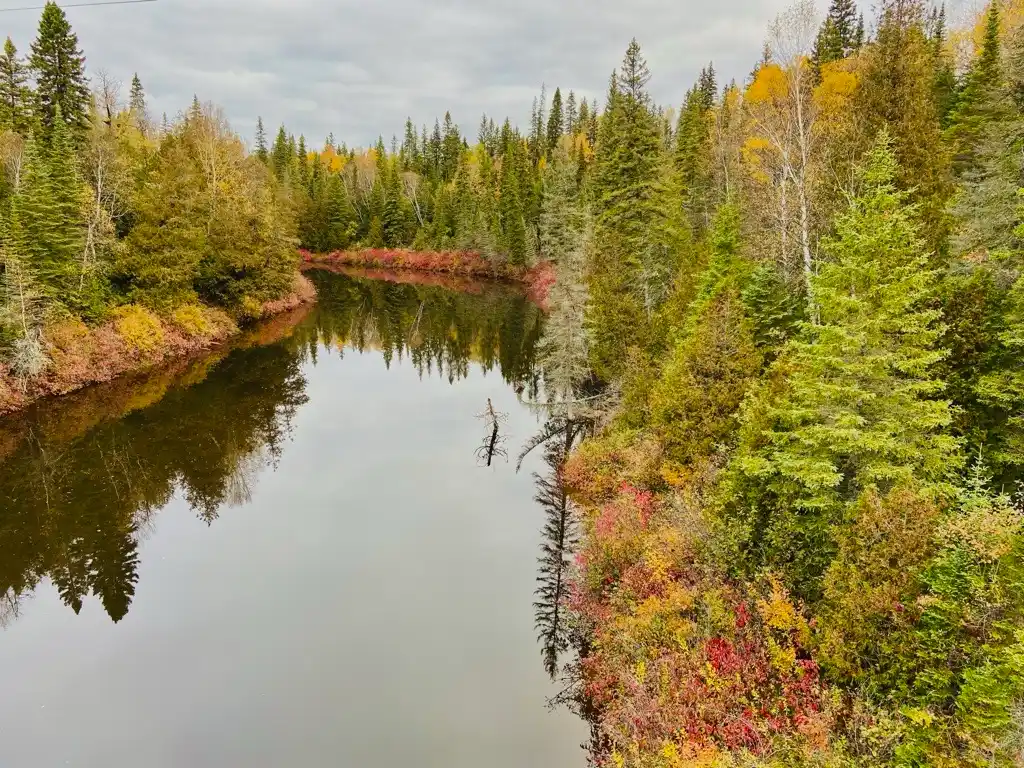
Our people, the Anishnaabe (Ojibway) of Biigtigong Nishnaabeg, have lived on and cared for our ancestral lands since time immemorial. Our lands include the shores of Gichigami (Lake Superior), the inlands of the northern Lake Superior region and the rivers that flow through them.
Biigtigong Nishnaabeg translates to “the place where the river erodes” and describes the unceded (never sold or handed over) lands on which the community is located.
Our Traditional Territory extends far beyond the reserve boundary: It covers over 20,000 square kilometres, an area slightly larger than Lake Ontario). This territory includes the six rivers in the Biigtigong Nishnaabeg Waterways Project.
Update
In 2026, the Biigtigong Nishnaabeg Waterways were recognized by the United Nations Environment Programme as an Indigenous and Community Conserved Area (ICCA). This is an international database that identifies areas around the world that are protected and cared for by Indigenous Peoples and local communities. Biigtigong Nishnaabeg is proud of the important role that we play in conserving our territory and delighted to join other communities around the world working to do the same.
Where are our waterways located?
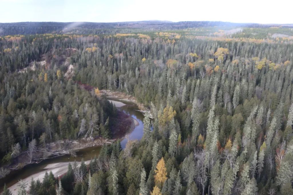
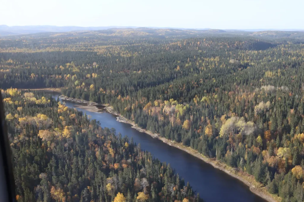
The six rivers that make up the Biigtigong Nishnaabeg Waterways are located in northern Ontario, Canada in the Thunder Bay District and Algoma District.
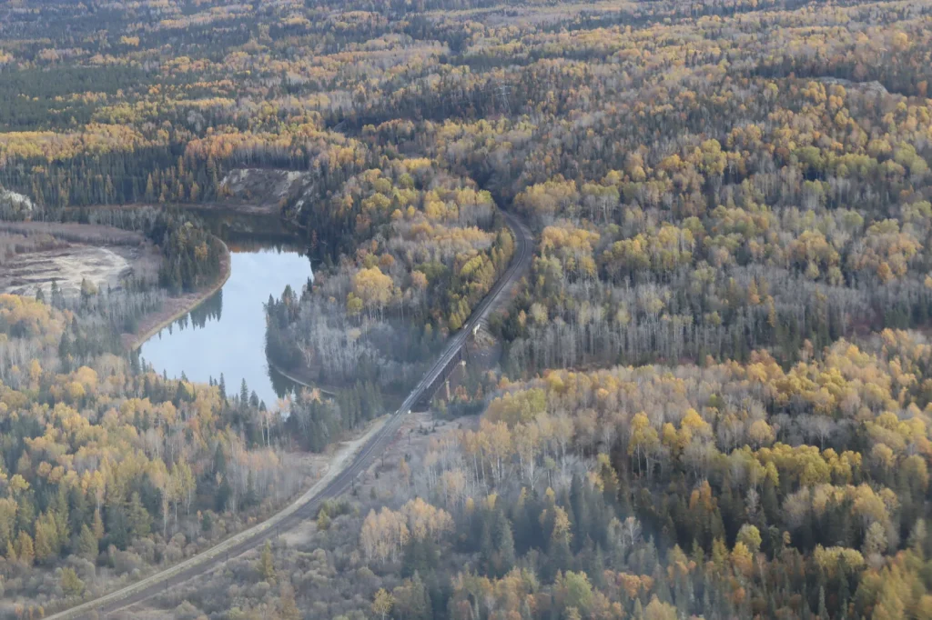
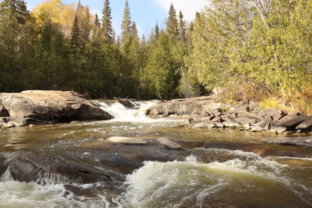
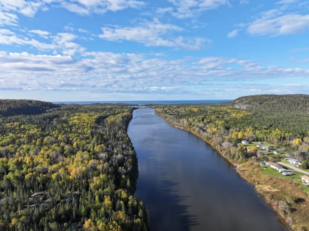
The rivers flow downstream through the boreal forest (a forest of mostly pine, spruce, and tamarack trees) and the Canadian Shield into Lake Superior’s north shore. The volcanic bedrock of the Canadian Shield forms ridges and high plateaus separated by narrow, river valleys with steep walls. The protected area includes a one-kilometre buffer zone surrounding each river.
Biigtigong Nishbaabeg Rivers
Dam
New Community Cabin
New Community Cabins (x2)
New location of Jackfish Camp
Original Jackfish Camp
Bigrock Camp
Wabous Camp
Moses Camp
New Developed Campsite
New Developed Campsite
New Developed Campsite
New Developed Campsite
Future Camp Site
Camp 14 Campsite
Esker Lake Camp Site (Temp)
Mooz Zaaghigan/Moose Lake/Esker Lake
Steel River Camp
Gaa-wmbaawngaag Zaaghigan Gbeshwining/Sandy Hill Lake Campsite/Aster Lake Campsite
Steel Lake Camp (Temp II)
Steel Lake Camp (Temp)
Steel Lake Camp Site II
Gaa-wzhaawshkwaabkaag Zaaghigan Gbeshwining/Bluestone Lake Campsite
Steel Lake Camp Site I
Wkikaandag Gbeshwining/Jackpine Campsite/Steel Lake Camp
Diablo Camp
New Diablo Camp Site
Dik Gbeshwining/Caribou Campsite
New Mountain Lake Camp
Gaa-gidjiiwaabkaag Zaaghigan Jiimaan Gbeshwining/Mountain Lake Canoe Camp
McKay Lake Camp
McKay Lake Camp
Pukatawagan Sandbar Camp
Puktawagan Ginoodaawangaa Gbeshwining/Pukatawagan Sandbar Camp
Sandbar Camp I
Michal Bridge Camp
Michal Zaaghigan Aazhogan Gbeshwining/Michal Lake Bridge Campsite
High Falls Camp
Giiwedin Ishpigakaamikijiwan Gbeshwining/North High Falls Campsite
Jackfish Camp
Ginoozhe Zaaghigan Gbeshwining/Pike Lake Campsite
Waboosekon Camp
Waboosekon Gbeshwining/Waboosekon Campsite
Tickseed Camp
Tickseed Gbeshwining/Tickseed Campsite
Caramat Camp
Caramat Gbeshwining/Caramat Campsite
Canoe Camp Site
Mnidoo Gkaamkijwang Gbeshwining/Manitou Falls Campsite
Legend
Click map icons to reveal more information.
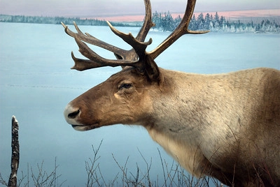
Woodland Caribou
A threatened species, the Woodland Caribou can grow as large as a metre in height at the shoulder, and can weigh between 100–250 kilograms. Their beautiful antlers can grow to be up to a metre long-as tall as they stand! Caribou hold great cultural significance to our people. Biigtigong Nishnaabeg has been conducting Caribou monitoring using cameras, and conservation activities such as habitat suitability modeling and a predator control plan near the Wzhaawshkosin Ziibii (Steel River).
Restoring Relationships
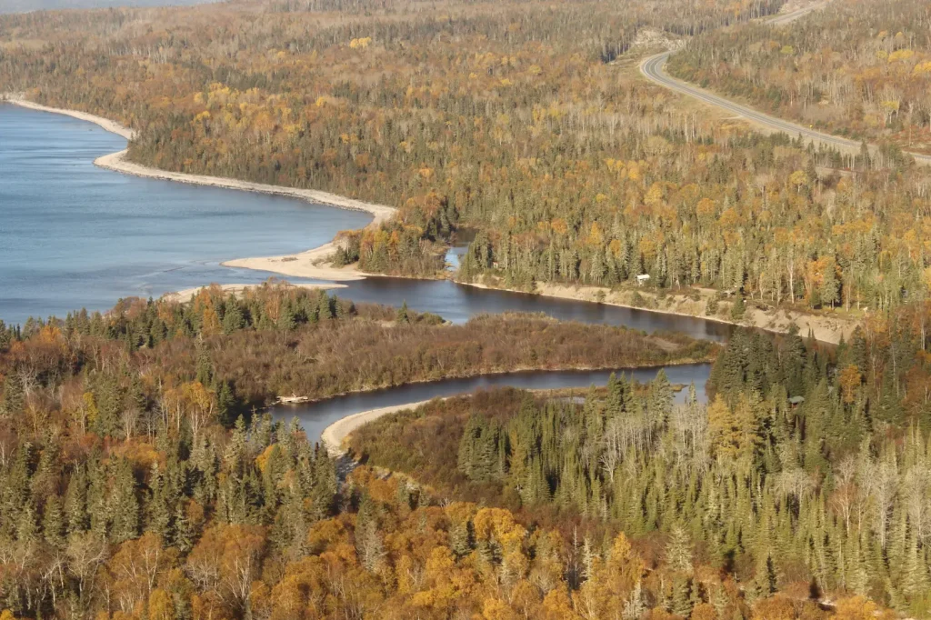
We view the rivers as a living relation, as part of ourselves, not as a resource to be used. Our responsibility is to care for these rivers so that they can continue to care for future generations. This is rooted in our language, our ancestral title and right to the land, and our historic use of our Traditional Territory.
Protecting the waterways for future generations means restoring relationships-getting people back onto the land and water in respectful ways-so that our community’s laws, stories, and responsibilities continue, alongside the river’s own life.
Healthy rivers will allow our children and grandchildren to drink, fish, and gather from the same waters as their ancestors. To meet this goal, Biigtigong Nishnaabeg is building a community-based water monitoring hub. We will keep watch over key waterways, bringing the knowledge of our Elders together with western science. The community will gather its own data and build new skills. This way, protection of our rivers will reflect our Nation and our priorities.